Our Sky Monitor network measures clouds and turbulence day and night at 50+ sites. Our software now turns that data into answers: where to build, which station to use, what to design for.
When Miratlas installed its first Sky Monitor for ESA in Tenerife in 2018, our job was to build instruments. Eight years later, Sky Monitors measure the sky 24/7 at more than 50 sites in 20 countries, across five continents.
That network has become something no one else has: a continuous record of clouds and atmospheric turbulence, measured on the ground, by day and by night, at a precision previously reserved for professional observatories.
Our customers need operational data
Optical links between satellites and the ground carry far more data than radio. But the laser beam has to cross the atmosphere: a cloud blocks it, turbulence blurs and spreads it. For the teams building this new infrastructure, the questions are practical:
Where should we build our optical ground stations?
Which station will be clear for the next satellite pass?
What atmospheric conditions must our terminal be designed for?
Will a quantum link work at this site, and only at night or by day too?
None of them is answered by a raw data file. They need operational data: answers delivered through tools.
Eight years of measurements, turned into tools
Our long series of measurements gave us two things: the precision to know what really happens above a site, and the material to train and validate our models. That is what made it possible to build tools that work in real operations.
LaserCom Pathfinder is the first step. Using weather data, it assesses potential sites and shows how they complement one another across a ground station network, so you can pre-select a network that could work before investing. Its models have a resolution of about 30 km and use data every three hours, so its predictions are a starting point to be checked against local conditions. Explore the Pathfinder demo.
DataHub gives you live and historical atmospheric data from the whole network, through a web portal, dashboards and an API, with no hardware to install. See 7 days of live data, no account needed.
The Sky Monitor remains the foundation. Installed at your own site in a few hours, it provides the ground truth that makes every answer reliable, and confirms on site what Pathfinder pre-selected.
See it in action
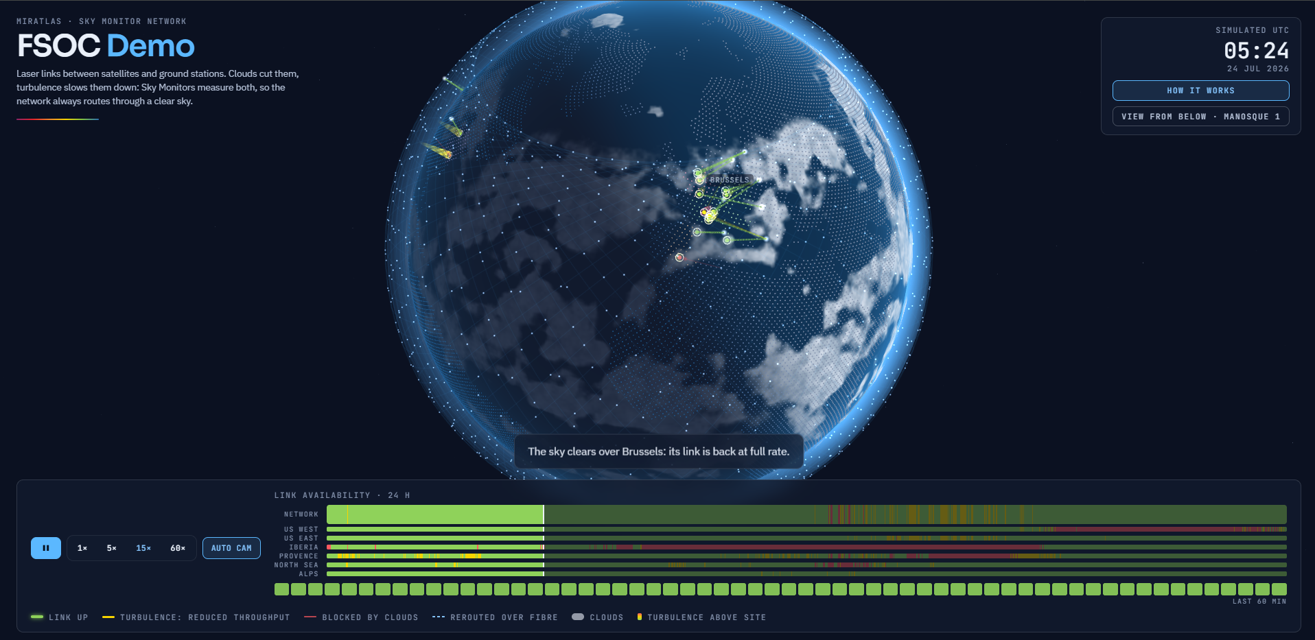
Our FSOC Demo shows a day in the life of an optical ground network. Clouds drift over the stations, turbulence rises and falls, and the network routes each link to a station under a clear sky. A bar at the bottom shows, minute by minute, how site diversity keeps the network available.
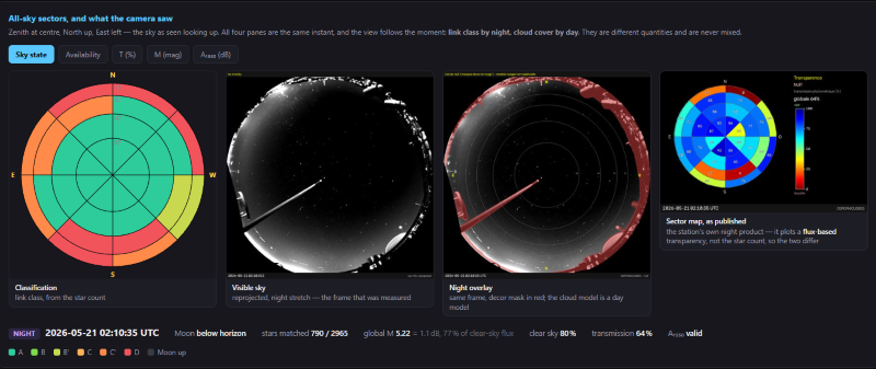
SkyVIS shows how a Sky Monitor classifies the night sky above the Haute-Provence Observatory, sector by sector, to tell where a laser link can pass.
What it means for you
Over the coming weeks, we will publish one concrete use case a week:
Ground station operators: see every sky live, anticipate, and hand over before the link drops.
Terminal and station manufacturers: size and test your systems on real atmospheric conditions.
Network designers: choose the right sites and the right number of stations before you build.
Quantum and research teams: prove feasibility by day and by night, with open data from Lamarck for research.
Trusted by ESA, CNES, DLR, Airbus, Honeywell, SSC and others, Miratlas is now focused on one goal: turning atmospheric uncertainty into decisions you can act on.
Working on an optical ground segment? Talk to one of our engineers about your project.