Atmospheric Characterization in Real-Time for DIRECT TO EARTH LASER COMMUNICATIONS

Through the development of laser communication between Earth and Space, satcom and telecom operators are converging to extend the core terrestrial fiber network into space.
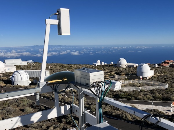
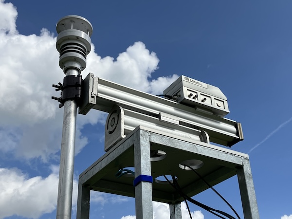
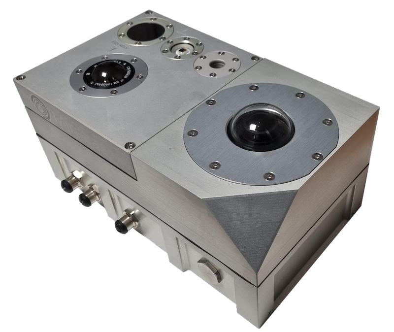
Miratlas understands this. That is why we provide Atmospheric Characterization in Real-Time using our Sky Monitor Instrument.
Our company attaches great importance to working with operators to modernize and optimize their network infrastructures using free-space optical telecommunications technology.
MIRATLAS HELPS OUR CUSTOMERS ENSURE OPTIMAL OPERATIONS THANKS OUR INSTRUMENTS AND SOFTWARE
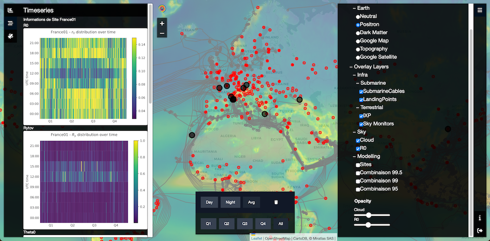
ATMOSPHERIC CHARACTERIZATION USING OUR ADVANCED SOFTWARE
Expertise and advice are at the heart of Miratlas’ commitment
Miratlas offers operational advice for the implementation of our instruments on the most promising locations. We assist in the interpretation of the collected data. And we provide input for the decision on the number and location of Optical Ground Stations to ensure the best return on investment for our customers.


Our offer to Satcom and Telecom operators

SELECT THE BEST SITES
Miratlas enables operators to identify the best sites for transmitting and receiving information transmitted by laser communication. These sites are crucial to guarantee the most operational continuity of services, considering the location of terrestrial and space infrastructures. This selection of sites is done through the process of modeling atmospheric turbulence to map the best terrestrial locations.

OPTIMIZE EXISTING INFRASTRUCTURE
Miratlas enables existing terrestrial facilities to evolve towards offering laser communication as a service to their space customers, by qualifying the availability and bandwidth potential according to atmospheric conditions.
| Atmospheric Characterization for Earth-Space Laser Communication |


